Discover aerial intelligence
for your industry
We match drone technology capabilities with industry, business, and public sector requirements.
Find out how we can help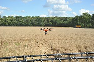
Crop growth monitoring
Crop health analysis
Soil & field analysis & monitoring
Field damage assessment
Conservation & research
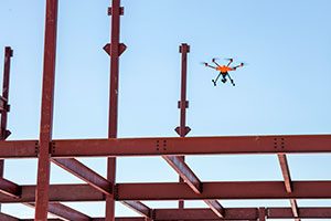
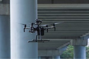
Construction surveys
As-built 3D models
Job site inspections
Stockpile measurement
Earthwork cut-and-fill estimates
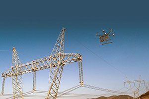
Turbine inspections
Solar inspections
Power-line inspections
Tower inspections
HAZMAT inspections & detection
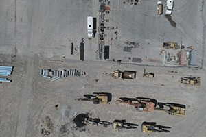
Well-site inspections
Offshore-platform inspections
Pipeline inspections
Facility-build monitoring
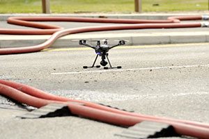
Emergency monitoring
Public-infrastructure inspections
Site safety inspections
Building-facade inspections
Mapping of public places
Compliance monitoring
Emergent-situation intelligence
Fire response & monitoring
Search & rescue assistance
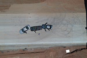
Police crime-scene analysis
Security surveillance
Roof inspections
Disaster-site inspections
Accident-scene recreation
Crop-loss assessment
Insured-property monitoring
Drone light shows
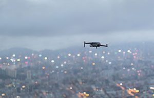
Local news-scene reporting
Environmental reporting
Real-estate aerial tours
Aerial filming & photography
We assemble the right drone technologies, teams, and processes to enable your optimal drone solutions—start to finish, or any part along the way.
Our drone technology sales, consulting, training & support, and flight services are designed to cover the entire range of commercial, research, and government needs for aerial drone applications.